University of Waterloo Weather Station Annual Summary -
2014
I knew that last
winter was cold, but I was a bit surprised to find out that 2014 was the
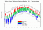
coldest year overall since 1980 at 0.8 degrees below average. After the winter, the rest of the year actually
wasn’t all that remarkable, but the frigid temperatures we saw early in the
year were enough to drag down the annual average.
The start of the
year was remarkably cold, January, which was over 3 degrees colder than
average, was followed by 2 months that were colder by more than 5 degrees. It was the coldest February since 1979 and it
was the second coldest March in the 100 year history of records in the
region. The low of -31.2 °C
on February 12th was the coldest temperature since January 27th, 2005 and the
second lowest February temperature recorded in the region (the coldest being
all the way back in 1934).
April was still
cold, but then May and June finally brought us some warmer than average
months. But any hopes for a warm summer
were dashed with a cold July and average August. The fall actually turned out to be pretty
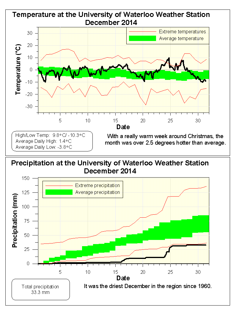
warm ending with a December that was the most above average of any month of the
year.
Although the entire winter
was memorable, of particular note was January 7th. It was not the coldest day of the year, but the
combination of temperature and wind made the windchill equivalent temperature -40.2,
which was the lowest value we have seen since the UW weather station was
established in February of 1998. The
other distinction of this day was that the high temperature only got up to
-18.7 °C, you have to go back to January 19, 1994 to
find a day when the high temperature was that low.
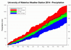
For precipitation,
the total for the year of 949.6 mm was just 45.6 mm more than the average of 904.0
mm. The first few months of 2014 were a
little bit drier than average and these were followed by some average months. The months of July (5th wettest) and
September (3rd wettest) put the total back above average. However, the last few months were dry putting
the final total back into the average range.
The most significant
day for precipitation was August 2
nd. Interestingly the total for the day wasn’t
that spectacular at only around 60 mm, however, this storm resulted in the
highest 15 minute (23.7 mm) and 1 hour (57.4 mm) precipitation values in the
history of the UW weather station.
Looking at the MTO website that calculates Intensity Duration Frequency Curves
(
link to MTO site
- developed with the help of the Civil Engineering department of the University
of Waterloo by the way) the one hour total has less than a 1 percent chance of
happening any given year (commonly referred to as a 1 in 100 year storm, but I
don’t like that terminology).
As always the total
snowfall for the calendar year is kind of a strange statistic as it straddles 2
different snowfall seasons, but nonetheless we got 148 cm during 2014 compared
to an average of 159.5 cm.
Summary for 2014 (averages are calculated from
1971-2000 data for the Waterloo-Wellington Airport):
Average Daily High Temperature: 10.91 °C (average 11.89 °C)
Average Daily Low Temperature: 1.04 °C (average 1.71 °C)
Total Precipitation: 949.6 mm (average 904.0 mm)
Click on the image below to see the temperature chart:

Click on the image below to see the precipitation chart:
